Private mobility
Private vehicles with individual trip chains, including electric and combustion-engine cars and motorcycles.


Mobility simulation
Explore the high-resolution, high-performance capabilities of CityMoS and CityMoS Suite.
Holistic digital twin
Evaluate alternative mobility scenarios across private, public, and commercial transport in one detailed environment.
Private vehicles with individual trip chains, including electric and combustion-engine cars and motorcycles.
Buses, trains, stations, depots, transfers, and individual multimodal passengers with origins and destinations.
Taxi fleets, private-hire vehicles, logistics, carriers, multi-shift operations, and passenger demand.
Adjustable driver behaviour, lane-changing, charging, engine, battery, fuel, and other component models.
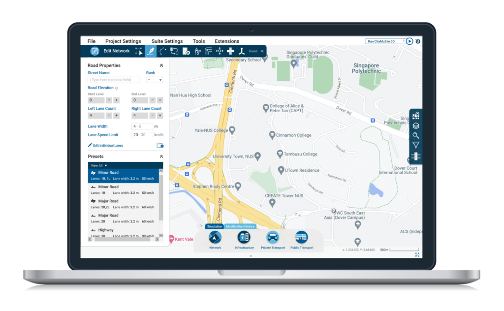
A graphical toolbox for maintaining road networks, travel demand, infrastructure, traffic lights, and models.
Calibrate driver behaviour, travel demand, route choice, and other parameters against observed data.
Model static or dynamic traffic lights, charging infrastructure, detectors, and roadside sensors.
Import SUMO, Vissim, OpenDRIVE, and shapefiles; export SQLite, PostgreSQL, CSV, TraCI, or gRPC data.
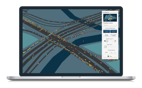
Monitor live simulations with statistics, heatmaps, road colouring, and detailed vehicle information.
One connected workflow
Prepare a scenario visually, then run and examine it at city scale.
 01
01Build road networks, travel patterns, model parameters, and calibration settings through a modern graphical interface.
 02
02Run locally or remotely and use the 3D environment for immediate visual feedback, analysis, and demonstration.
Product offering
Work with map overlays, terrain, topology, road connections, traffic lights, bus lines, stops, and routes.
Import networks from SUMO, Vissim, OpenDRIVE, and ESRI shapefiles.
Create zonal demand, flows, individual trips, and other demand models.
Automatically calibrate driver behaviour, route choices, and other simulation parameters.
Configure models, visual features, buildings, output metrics, and formats.
Flexible analysis
Store simulation results in SQLite, PostgreSQL, or CSV and configure exactly which data the simulation produces.

Open workflows
Bring established transport-network data into CityMoS without rebuilding the scenario from scratch.

SUMO, Vissim, OpenDRIVE

SUMO and Vissim signal definitions

SUMO trips, flows, and demand

ESRI geographic data
Collaborate with us
Tell us about your mobility challenge and find out how our team can help.